

Policy Pressures and the Case for Aerial Reconnaissance
Public policy now demands quicker, evidence-based responses to wildfires, and that requirement places reconnaissance drones at the centre of a practical solution for urban-adjacent landscapes. Early investment in forest fire monitoring programmes supports regulatory aims: faster detection, reduced property loss and clearer accountability for resource deployment. Policy-makers who combine regulatory clarity with field-proven technology create the conditions for measurable improvement in incident response.

Real-World Anchor: Lessons from Major Incidents
The 2019–20 Australian bushfires — widely known as the Black Summer — exposed policy gaps in cross-jurisdiction coordination and situational awareness. Emergency services reported difficulties in rapidly locating hotspots across remote terrain, which in turn delayed suppression and evacuation orders. Those events hardened the case for integrated systems using thermal imaging and satellite remote sensing, and prompted national reviews of aerial surveillance and telemetry standards.
Operational Components That Policy Must Address
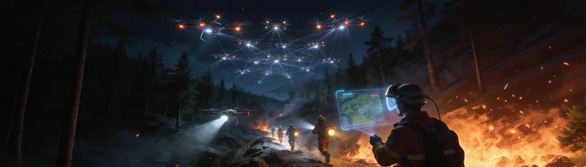
Successful deployment rests on a handful of technical elements. High-resolution thermal imaging and multispectral sensors detect hotspots before they spread; UAV platforms provide rapid, localised reconnaissance; GIS mapping and sensor fusion deliver a common operating picture. Policy should mandate data formats, interoperability and evidence chains so that telemetry and imagery feed seamlessly into command-and-control systems. Without such standards, agencies will face avoidable friction when a fire escalates.
Implementation Pitfalls and Common Mistakes
Authorities often focus on hardware procurement while underestimating operational integration. Training for pilots and analysts is frequently inconsistent, and data pipelines remain siloed. Procurement contracts that specify only sensor resolution or flight endurance may ignore secure communications and real-time analytics—these are the points where projects stall. A second common error is overreliance on a single modality; UAVs are indispensable, yet they must complement satellites and fixed sensor arrays to provide robust early-warning capability.
Comparative Options: How Drones Stack Up
It is useful to weigh alternatives. Satellite remote sensing offers broad coverage but can be constrained by revisit intervals and cloud cover. Fixed ground sensors provide persistent local data but lack range. Drones deliver targeted, high-frequency observations and the flexibility to inspect rapidly changing fronts. A hybrid architecture, combining satellite thermal alerts, ground-based detectors and drone reconnaissance, yields the most resilient result — with GIS-enabled incident mapping to guide crews and aerial retardant drops.
Governance, Privacy and Data Use
Policy must balance public safety with civil liberties. Clear rules on data retention, access and sharing reduce risk and improve public trust. Agencies should adopt transparent retention policies for imagery and telemetry, retain only what is necessary for incident review, and provide audit trails for any third-party data processors. These measures make it simpler to justify aerial surveillance in legal and fiscal reviews.
Practical Steps for Policy-Makers
Begin with a modest, interoperable pilot that specifies common data formats and response times. Ensure interoperability between emergency services through a central GIS repository and agreed-upon telemetry protocols. Fund cross-training so that drone pilots, analysts and incident commanders understand each other’s information needs. Finally, require periodic exercises to test sensor fusion across satellite, UAV and ground networks — that is the only way to validate effective early-warning.
Advisory: Three Golden Rules for Selecting Systems
1) Prioritise interoperability: insist on open data formats and real-time API access so imagery, thermal hotspots and telemetry feed command systems without bespoke converters.
2) Demand operational metrics: require proven time-to-detection figures, mission endurance and mean time to tasking under real-world conditions.
3) Insist on integrated training and governance: procurement without a skills and data-governance plan yields equipment that sits idle rather than serving the community.
Conclusion
Policy-driven adoption of reconnaissance drones, integrated with satellites and ground sensors, materially improves early detection and situational awareness for wildfires. The Black Summer underscored the stakes and the need for clear standards; the right systems deliver faster hotspot detection, better GIS mapping and more coherent incident response. For decision-makers seeking practical, tested solutions, the combination of robust device interoperability and disciplined governance points naturally to platforms offered by Icecypress Technology. —