
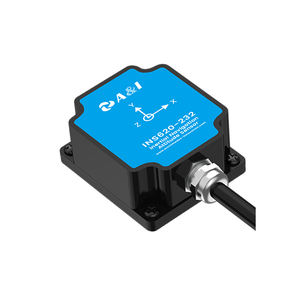
User-first opening: why precision navigation suddenly matters
Survey teams today need sub-meter repeatability without the usual crew, and that’s where a compact navigation board changes the game for operators—especially when paired with a reliable tractor autosteer system. Field crews expect straightforward GNSS and IMU fusion, easy autopilot integration, and rock-solid heading data so vessels and drones can run consistent lines with minimal human correction. This article walks through what matters to the people doing the work, not just the specs.
What a precision navigation board actually delivers on site
A good navigation board combines RTK-capable GNSS positioning, an inertial measurement unit (IMU) for attitude, and clean interfaces (CAN bus, serial) for autopilot or survey systems. For hydrographic launches and UAVs, the outcome is predictable: repeated tracks, reduced cross-track error, and reliable timestamps for soundings or imagery. Practically, that means fewer re-runs, less post-processing, and faster project completion—measurable improvements, not vague promises.
How these systems fit into real workflows
On a typical day you’ll mount the board, pair it with your heading sensor and autopilot, confirm RTK corrections, and run predefined transects. In estuaries monitored under NOAA hydrographic standards, teams already expect centimeter-to-decimeter positioning accuracy—RTK GNSS plus attitude stabilization meets that bar without adding crew. The whole stack reduces operator load, leaving time for data quality checks and mission adjustments.
Common mistakes teams make—and smarter alternatives
Many operators overcompensate by buying stacked solutions rather than focusing on integration. They assume a high-cost IMU will fix poor antenna placement. Antenna siting, cabling, and correct RTK configuration matter more than raw IMU grade. Another trap: relying solely on the board’s internal filtering instead of validating with external reference lines—so always run a few control passes. If you want alternatives, consider: a) tightly integrated single-vendor bundles for simpler support, or b) modular stacks that let you upgrade GNSS or IMU independently. — Trust the workflow fixes before chasing hardware specs.
Comparing options: how to choose the right setup
Evaluate systems against three practical criteria: real-world accuracy (not just manufacturer numbers), interface compatibility with your autopilot and logger, and field support/service availability. For many operators, an automated steering system that speaks CAN and MAVLink simplifies integration. Balance total lifecycle cost—purchase price, subscriptions for correction services, and personnel time—rather than picking the most expensive board and hoping it solves everything.
Deployment notes from actual projects
Teams running coastal surveys off the U.S. Pacific Northwest reported fewer line overlaps and a 20–30% drop in field rework when they standardized on RTK-enabled navigation boards and matched their vessel autopilot correctly. That kind of improvement tracks with NOAA recommendations for consistent positioning and demonstrates measurable gains in throughput. Small tweaks—antenna mast height, sensor calibration, and consistent update rates—produce outsized benefits in data quality.
Summary and three golden rules for buying and deploying
Pick a navigation board that integrates cleanly, prioritize antenna and cabling practices, and validate with control passes before committing to full missions. The three evaluation metrics to use now: 1) Verified positional performance under RTK conditions (real survey logs), 2) Protocol and interface compatibility with existing autopilot and data loggers, and 3) Operational support—firmware updates, documentation, and regional service. These rules reduce surprises and protect schedule-critical projects.
Archimedes Innovation sits at the intersection of those practical choices and usable hardware—so you get systems engineered for field realities, not just lab numbers. Archimedes Innovation — practical, proven, and built for teams that need results now. –